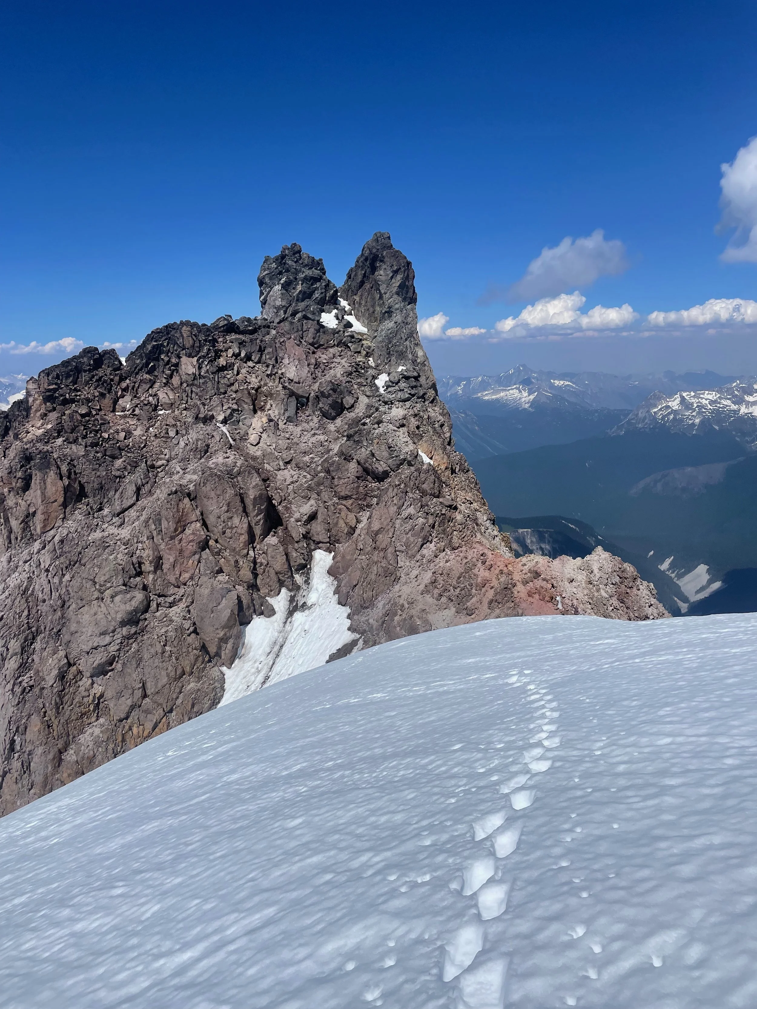
Dakobed, Frostbite Ridge - the climbers’ route to the summit
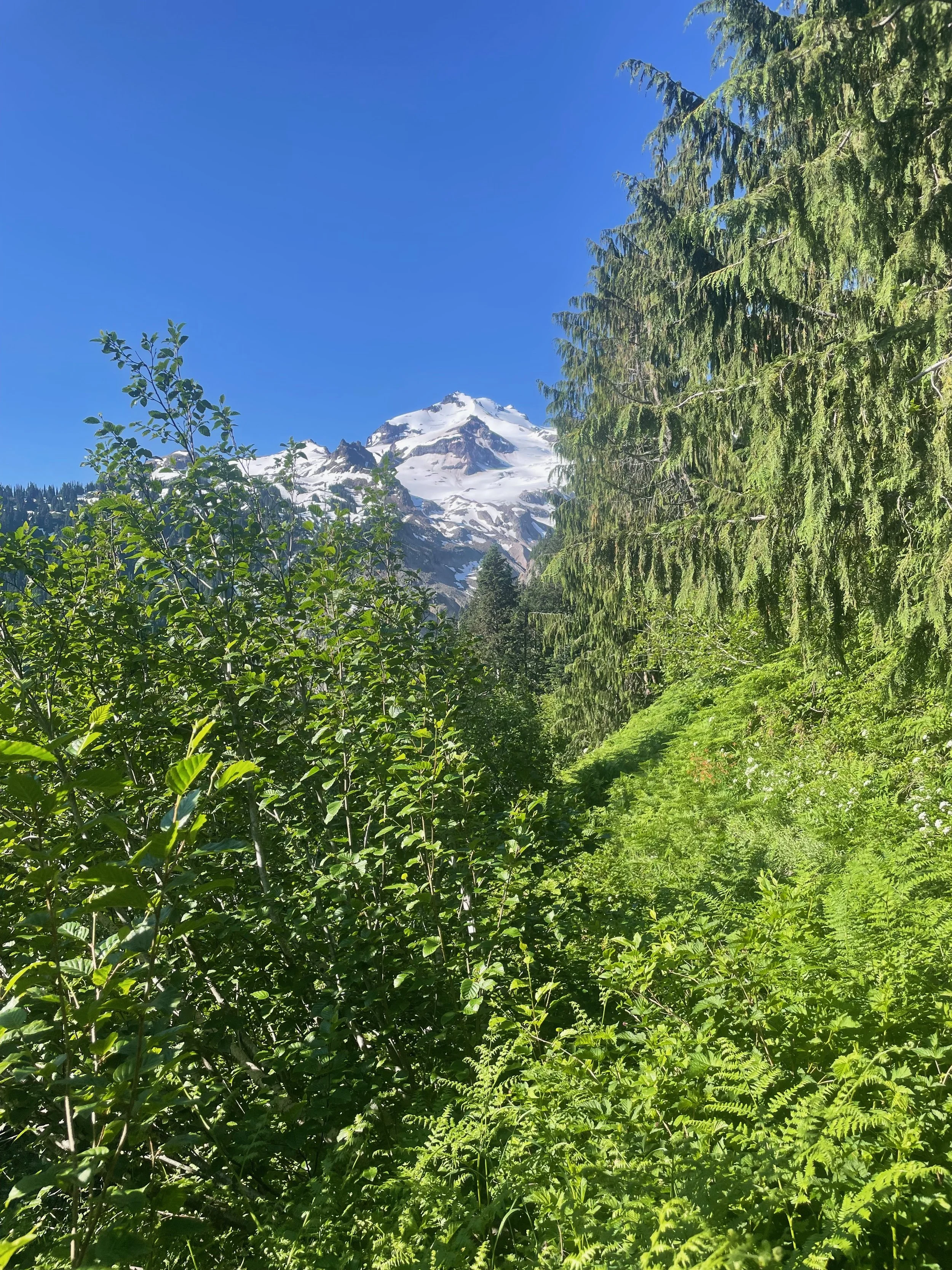
Tucked back into the widest stretch of the Cascades is one of the least recognized volcanoes - named Dakobed or Takobia by the local Sauk-Suiattle nation, or Glacier Peak by their neighbors. Its 10541 ft / 3213 m summit is hidden in the middle of North Cascades, surrounded by miles of old-growth forest. It is the most isolated, least visited volcano in the Cascades, almost as tall as Kulshan / Mount Baker and the fourth highest summit in Washington.
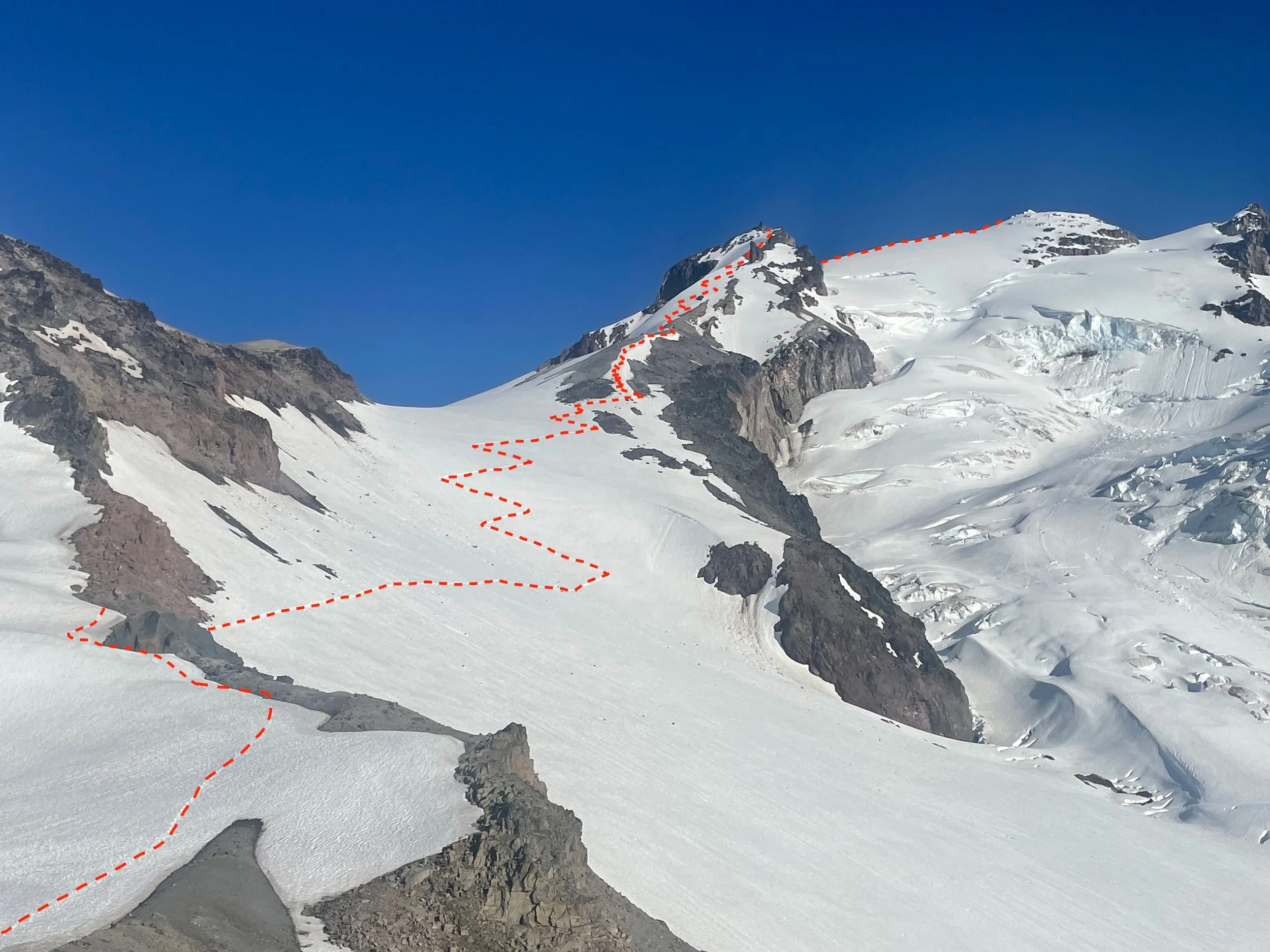
While Sitkum Glacier route on Dakobed’s south side has become the regular route and steadily been growing in popularity, the northern Frostbite Ridge sees relatively few ascents despite taking the same time to summit. Because it follows a ridge the views are awesomely expansive. It climbs one glacier then crosses the accumulation zones of four more, with steep snow and passing through a short 3rd class passage along the way.
And for whatever reason, the Frostbite Ridge (North Ridge) seems to have fallen even more out of favor in the early 2000’s, if it was ever in fashion to begin with. I think the loss of west and north access after the floods of 2003 may have contributed to it. A longer summit day and more technical climb may contribute to it too. I first climbed this route in 2001, and may have pioneered this post-flood approach - I can’t find any record on the internet of anyone else approaching the Frostbite Ridge as I do.
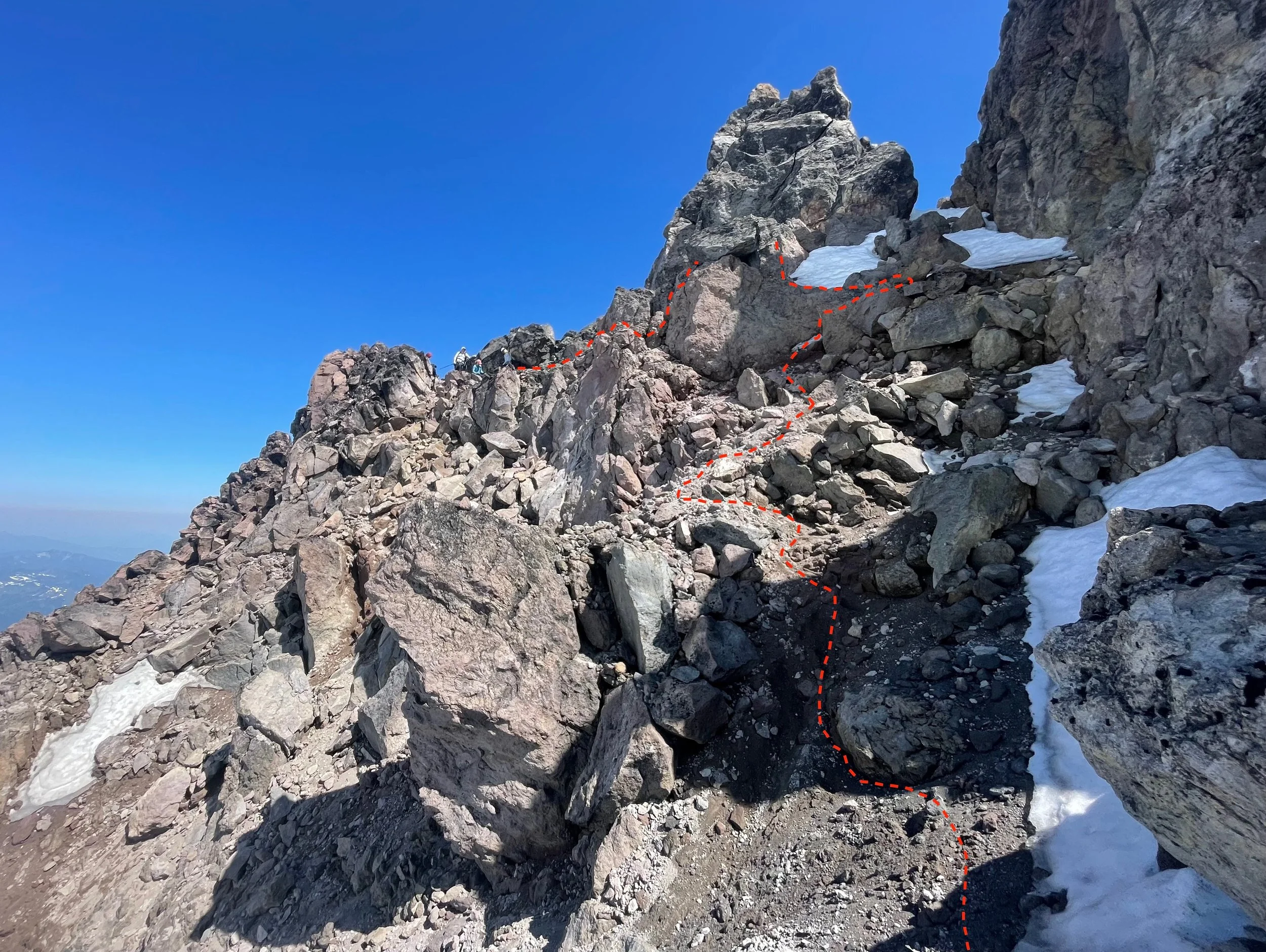
This year Christy, Liz, Mike and Pam were stoked to join me. I can guide this route at a high ratio because the vast majority of the route allows it. Only the third class section through the Rabbit’s Ears mandates a 2:1 ratio for safety, so I’ll lead two guests at a time through the step before we continue on. It does slow us down enough that I also require a fifth day.
It’s a big route, no doubt about it. Really similar to Mount Olympus in nature - a big hike in on the first day, a second day finishing the approach and starting up a glacier to a high camp, a fourth day summiting and typically descending as far as we can, and finally a fourth long day finishing the exit. For groups of greater than two guests, or anyone who wants to enjoy the dinnertime views on summit day, a fifth day is added on.
It’s occurred to me that this would also make a great Traverse trip - by shuttling a car to the south-side, you could easily carry up and over, experience both sides of the mountain and having some amazing views along the way.
Check out the photos and captions for more - and thanks to Christy, Liz, Mike and Pam for a fantastic trip and their photo contributions!
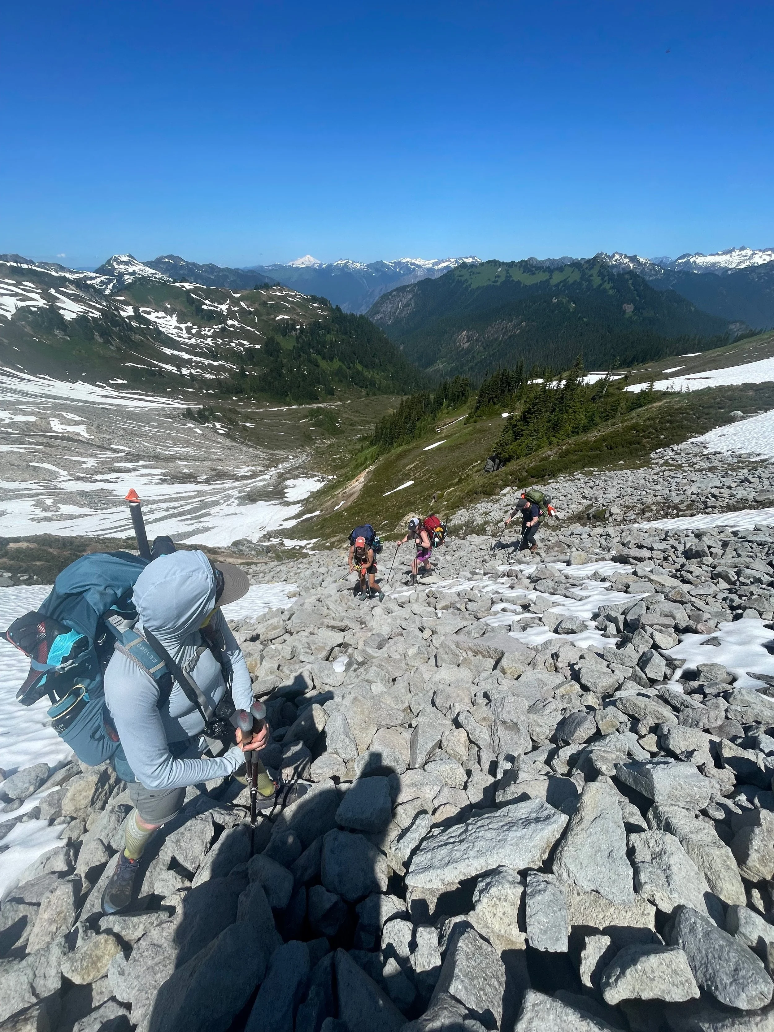
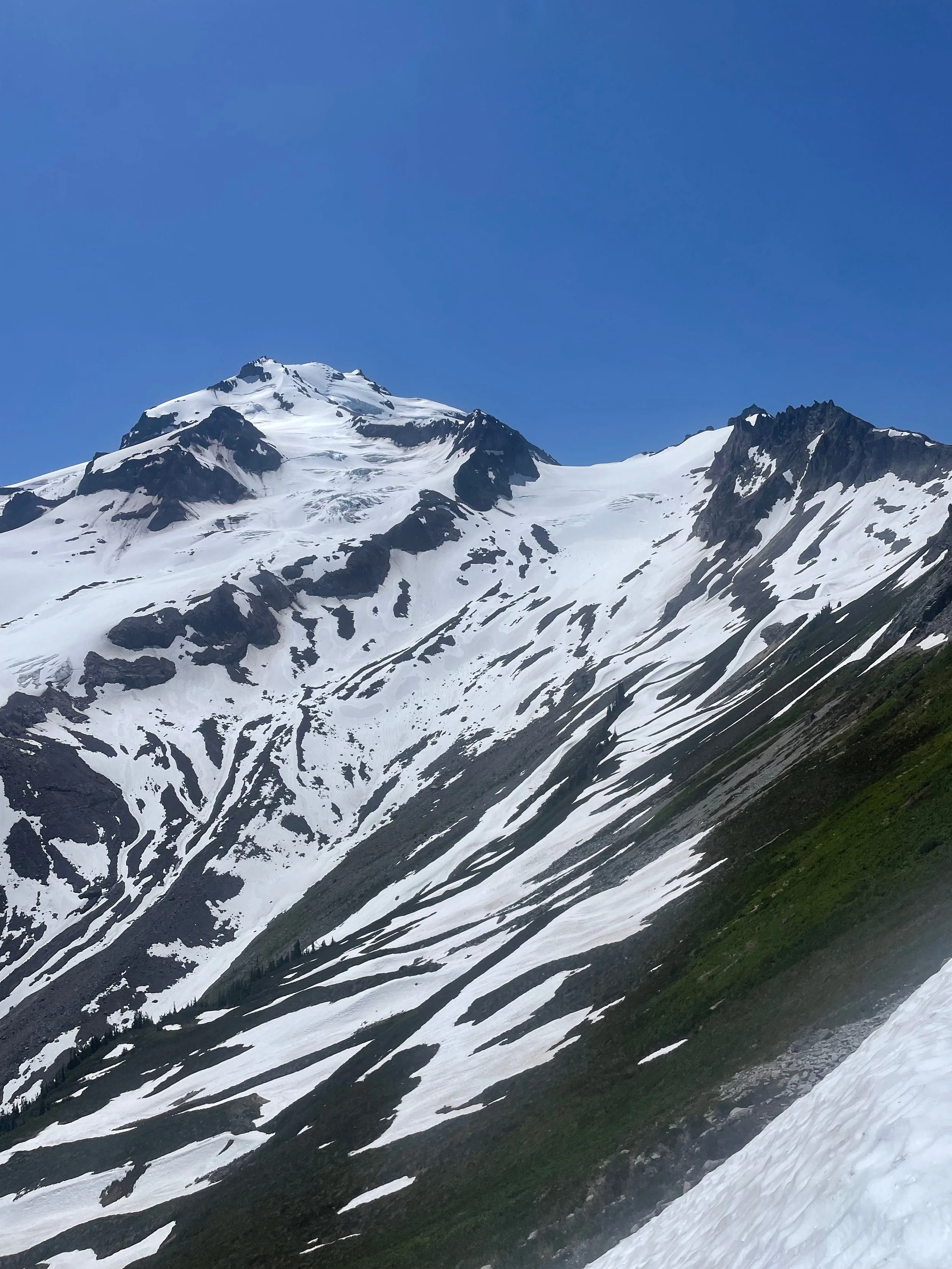

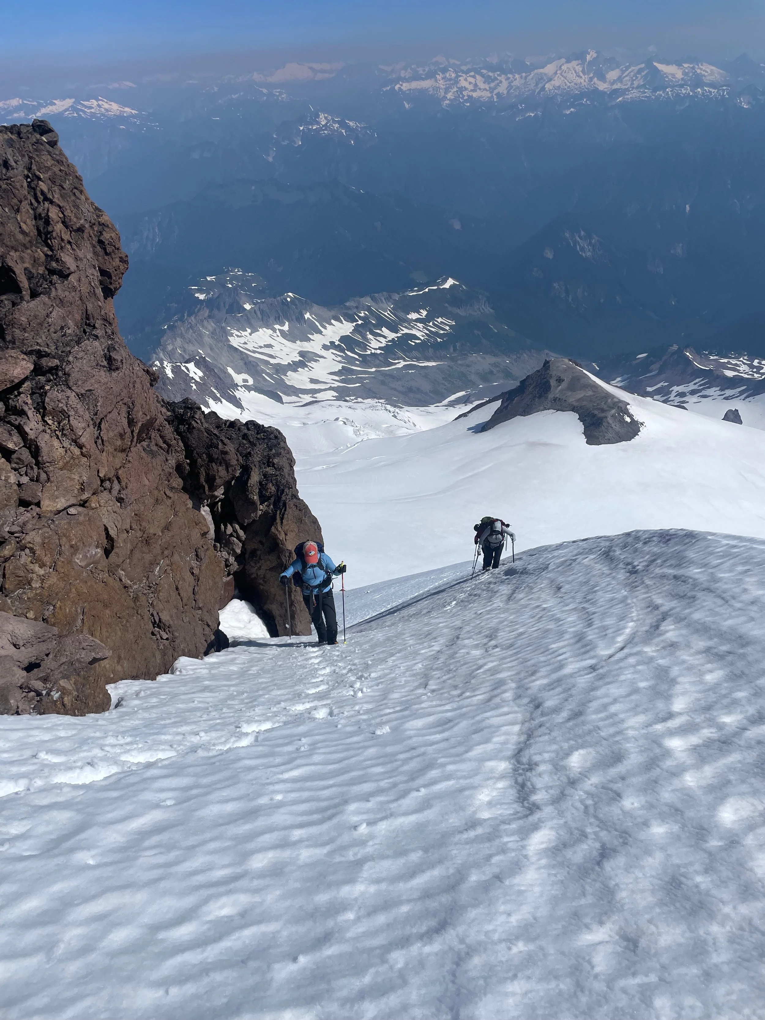
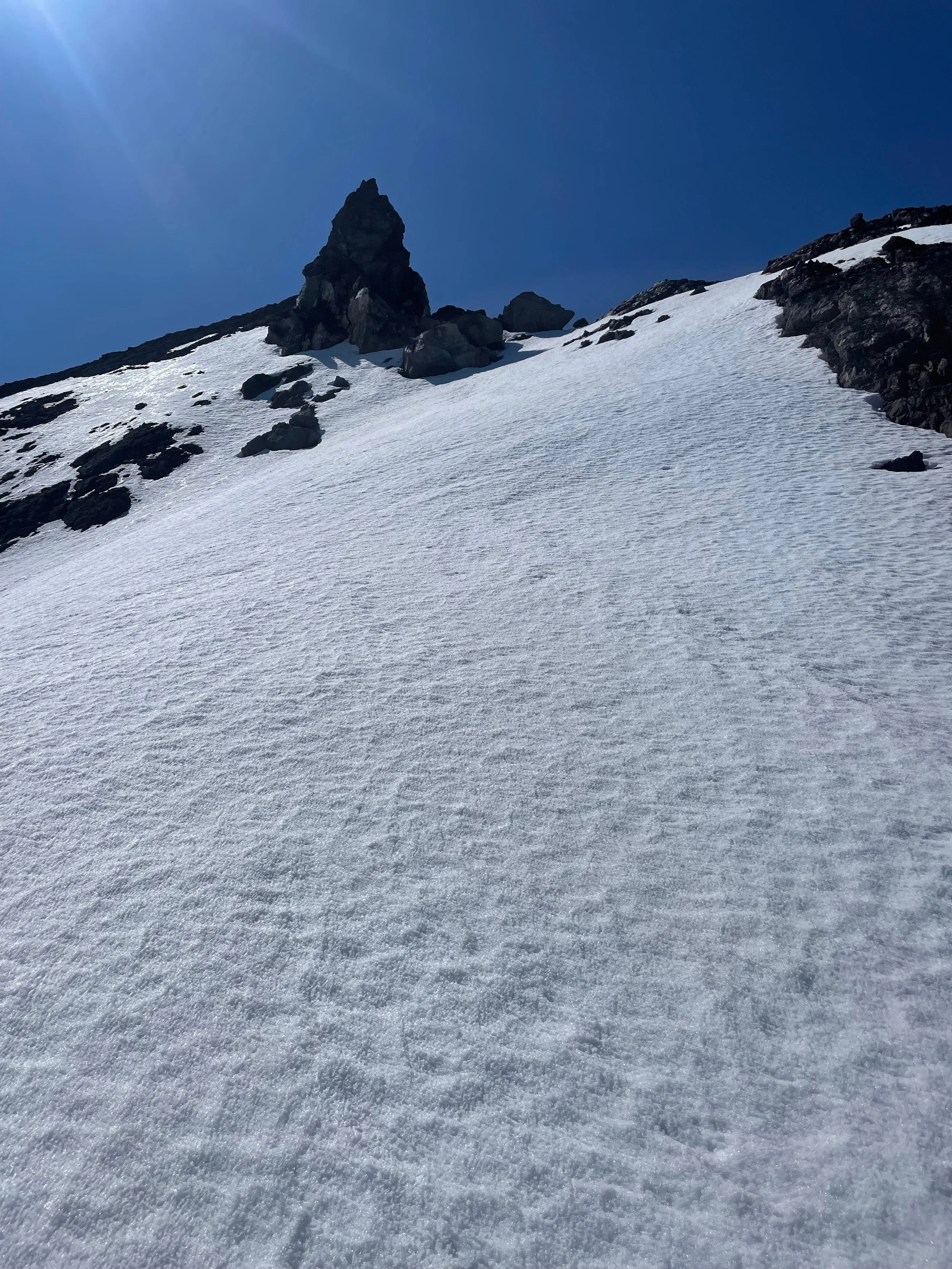


10520’, glacier, steep snow, 3rd class rock.
Frostbite Ridge (also the North Ridge or the North Cleaver) is a fantastic alternative to the Sitkum Glacier route with a strong team. The effort required is remarkably similar to Mount Olympus.
I only recommend a four-day trip at a 2:1 ratio and really full days - starting early (like 07.00) on Day 1, ending late (like on Day 4. Adding a fifth day to the itinerary will allow for a later start on Day 1, a second night at high camp, and finishing between noon and early afternoon on Day 5.
Day 0: The day before, camping at Sulphur Springs Campground is less than a mile from the trail head. It is often reserved on Friday and Saturday nights, but empty on week days.
Day 1: The goal is to reach at least 3600’ on the Vista Creek Trail section of the PCT. There is a campsite there immediately off the trail with room for up to 6-8 tents. This is 11.5 miles from the trailhead. The next available campsite is another 3 miles and +2000 ft higher, at Dolly Creek. 6 hours movement to here.
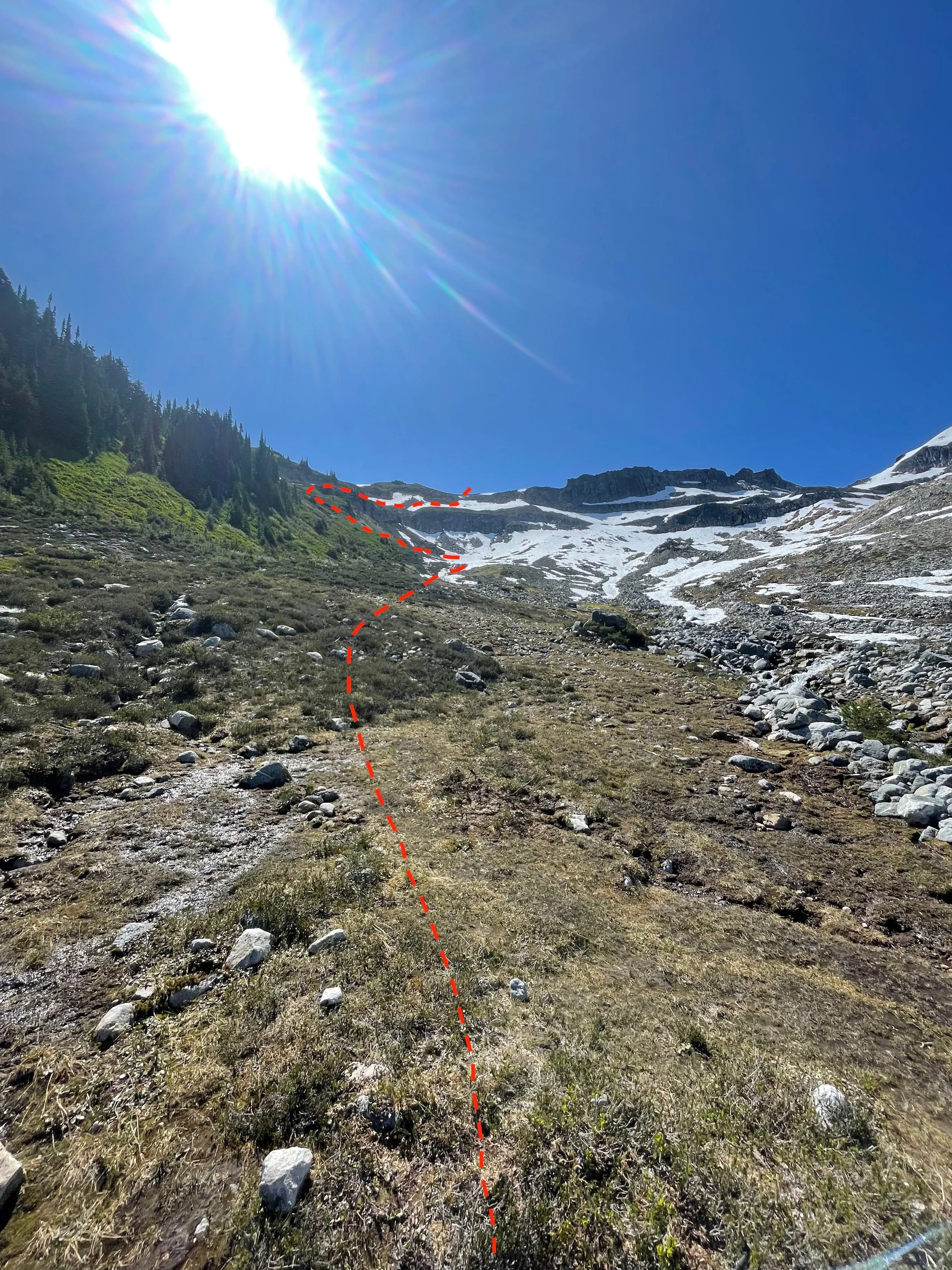
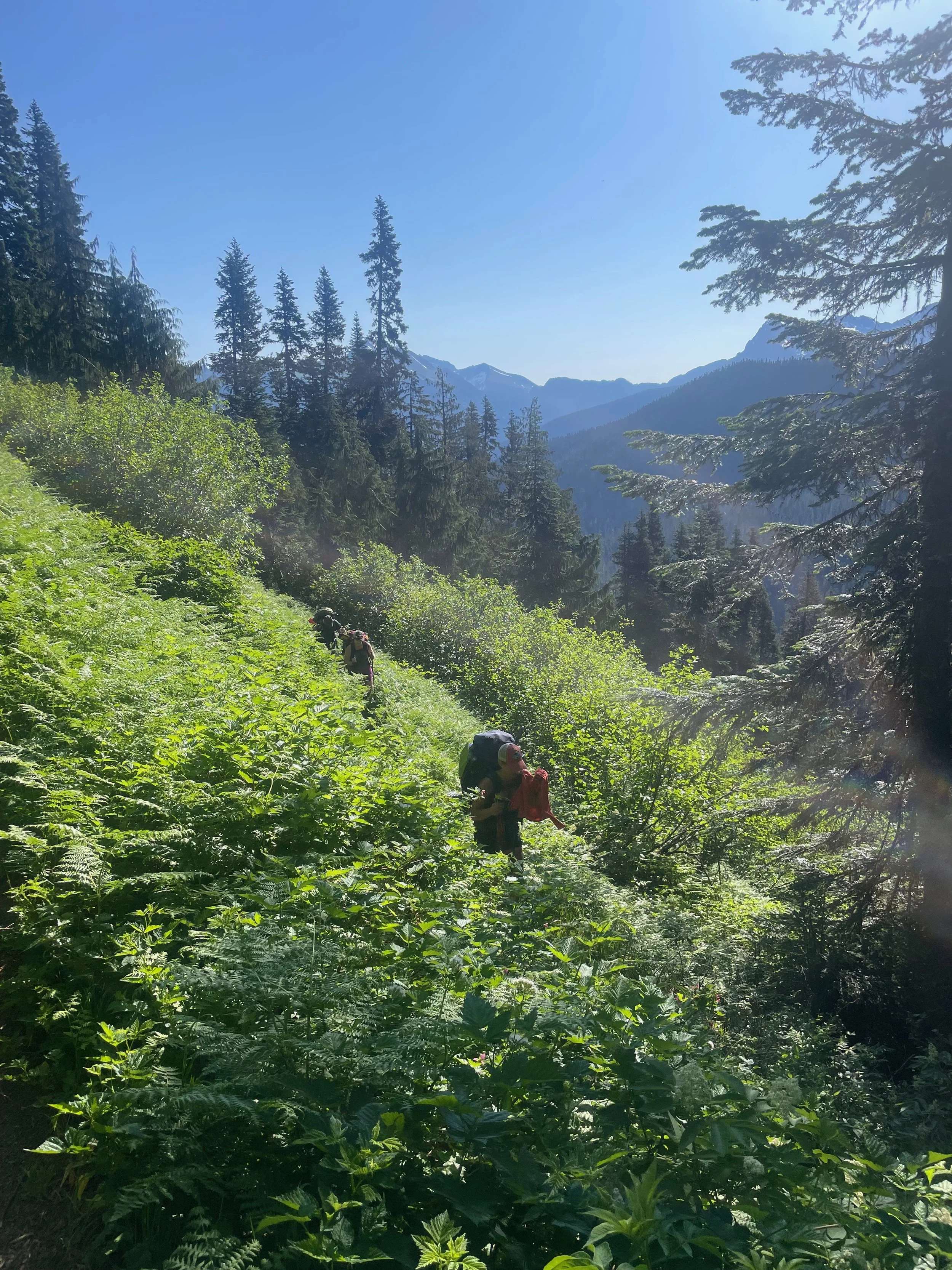
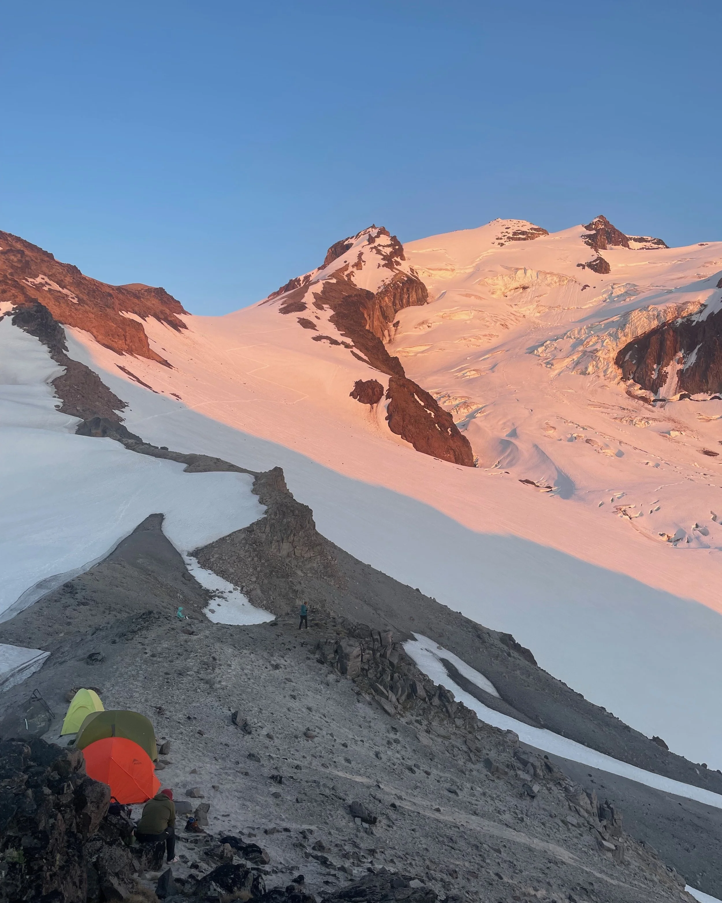
Day 2: Continue up the trail to the East Fork of Milk Creek. This open alpine bowl allows for relatively easy travel to a ridge crossing to the south at 6600 ft. continue traversing south on heather slopes to gain the Vista Glacier, loosing ~325 ft elevation. Gain the ridge at 8000 ft and find a nice spot to camp with an insane view! 7 hours movement to here.
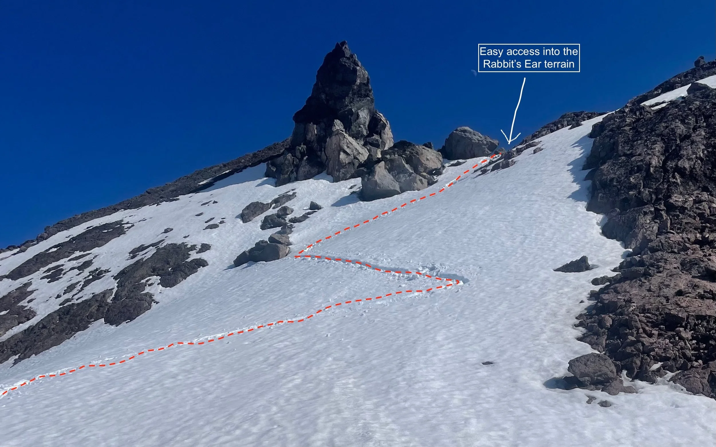
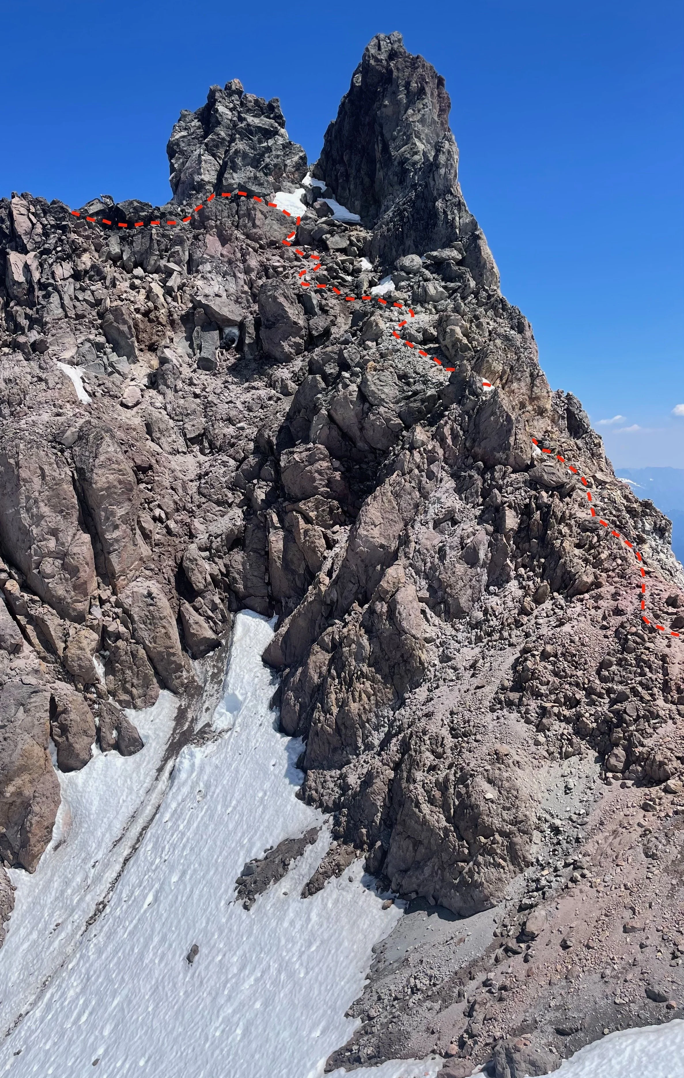
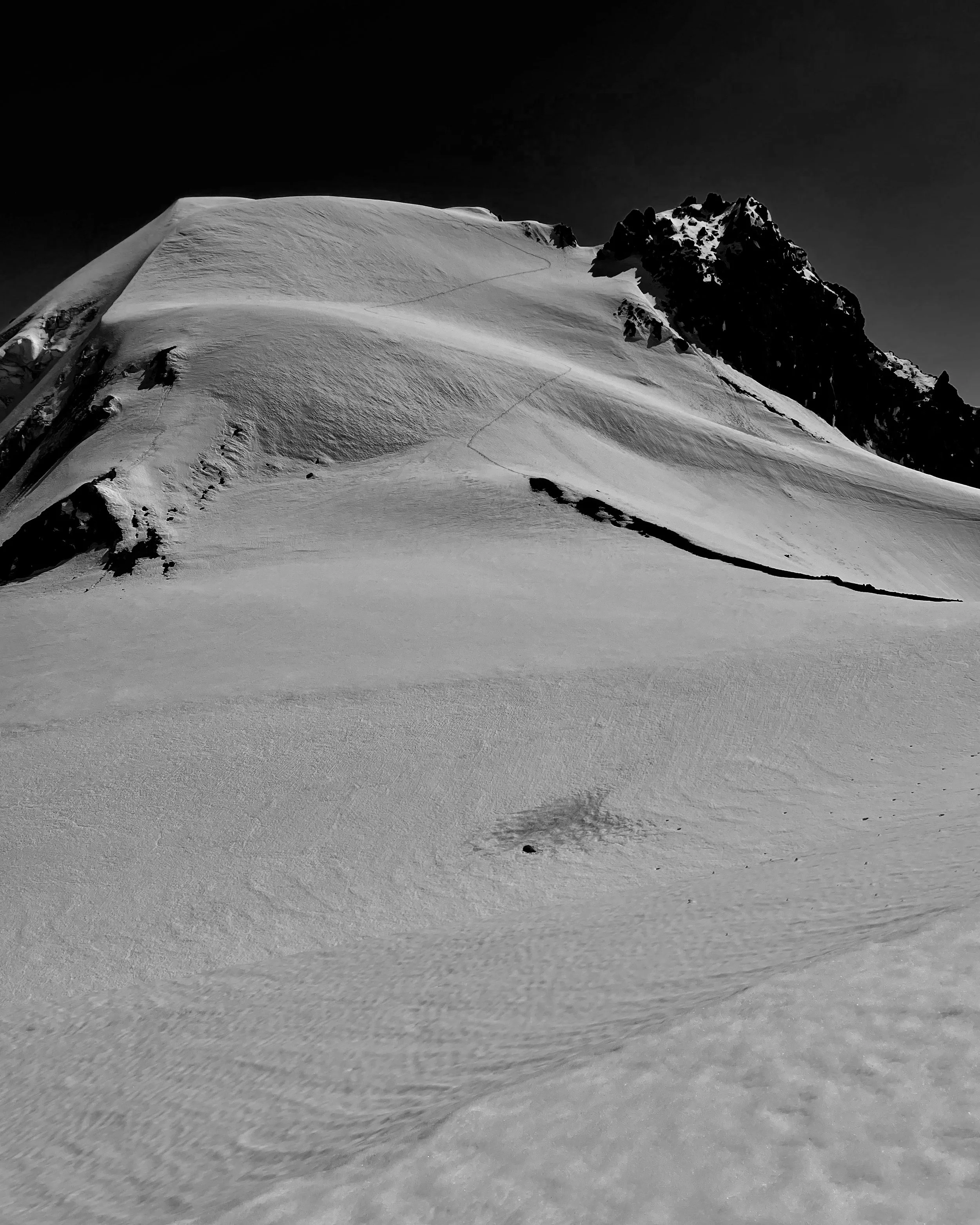
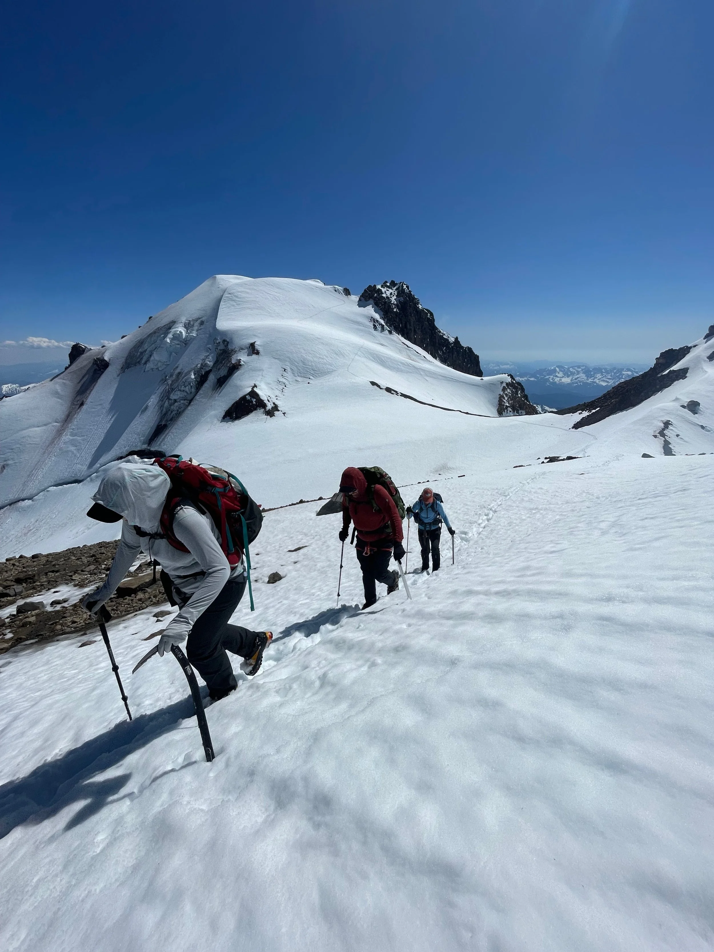
Day 3: The crux of the trip - from the ridge camp, traverse across a snow slope above the Kennedy Glacier, and ascend up the Frostbite Ridge to the Rabbit Ears, a twin rock summit you can’t identify until you move past it. There is a lower tower that is not the Rabbit Ears! Two 40m steep snow pitches gain the final slope to the Ears. You can actually cross in front of the West Ear, traverse under the West Ear on the south side to the east side of the East Ear and descend to the saddle behind it. This is 2nd-3rd class terrain. With my group of four I simply short-roped them in two groups of two. I also cairned the route fairly well this trip. The terrain is fairly straightforward from there - climbing up towards point 10290, then dropping back into the summit crater. I have seen open crevasses on the slope leading up to the summit, so I do rope up for the final 350 ft climb. It took us a total of 6 hours to reach the summit, and 4.30 to descend.
Day 4: The goal on Day 4 is like that on Day 1 - get out as far as you can. We reached the Suiattle River in under 9 hours of movement. If your team is strong, I’d recommend the climb and a little under a mile to reach the next camp. It’s more quiet and the water is significantly less silty. On the flip side, if your group is struggling you can camp early at the junction with the Upper Suiattle River Trail.
Day 5: Finish the hike out and head into Darrington for beers and pizza at River Time Brewing!
A note on times: I only give movement here, not movement and breaks. We had impressively hot temperatures and took longer breaks more frequently, we also took time to review crevasse rescue when we reached the Vista Glacier. I think in cooler temperatures and with a more experienced team we would easily shave an hour off of every day.

